
Feature your map in the gallery.
Show off what you've built with Kumoy. Share your maps and inspire the community.
Maps made in QGIS, published to the web with Kumoy. Explore the maps and find ideas for your own work.
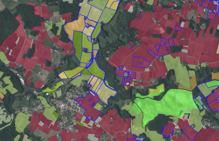
A shared parcel reference map your team can open anywhere.
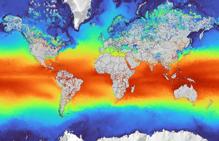
Satellite observation data styled in QGIS and published to the web.
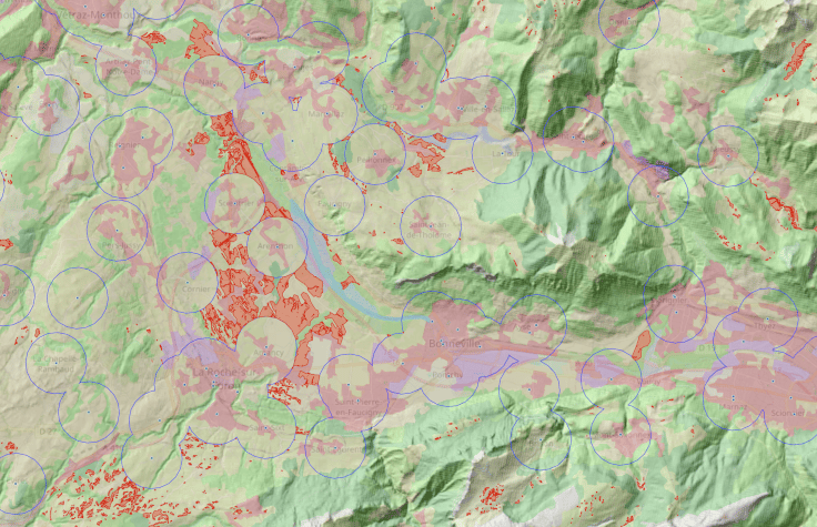
Highlight suitable areas to help viewers understand their region.
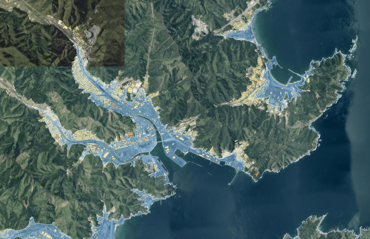
Overlay tsunami risk zones and buildings to check local exposure.
Show off what you've built with Kumoy. Share your maps and inspire the community.
Publish your QGIS maps seamlessly with Kumoy. Get started and create your first map.